Cape Horn au Long Cours (CHLC): The fascinating historical work of a team of volunteers
The association Cape Horn au Long Cours and the website Cap‑Horniers Français now represent one of the most valuable independent resources for understanding the epic of large French merchant sailing ships and the seafarers who crossed Cape Horn. Through meticulous, volunteer‑driven research, the site documents vessels, voyages and crews, restoring a voice to these long‑distance sailors whose memory might otherwise have remained confined to archives and a few museum cases.
A living memory of French Cape Horners
The term “Cape Horners” (or cap‑horniers) refers both to the large merchant sailing ships and the sailors who rounded Cape Horn between roughly the mid‑19th century and the 1920s, sailing between Europe and ports in the Pacific Ocean. These three‑ or four‑masted steel windjammers faced extreme conditions—fierce winds, heavy seas and freezing cold—especially when they beat against the prevailing westerlies to pass from east to west around the Horn.
For over a century, until the 1920s, the Cape Horn route was one of the great arteries of global maritime trade: French sailing ships carried guano and nitrates from Chile and Peru, cereals from Australia and California, lumber from North America, metals and nickel ore, among many other cargoes. Long before steam power and the Panama Canal, these tall ships shaped the commercial networks of the era, leaving behind a legacy of courage and endurance.
The Cape Horn au Long Cours association and its roots
The association Cap Horn au Long Cours (CHLC) inherits its spirit from the International Association of Cape Horn Captains (AICH), originally the Amicale Internationale des capitaines au long cours Cap‑Horniers, now dissolved along with the last generation of sailing‑ship masters who created it. Carrying on that legacy, CHLC has as its mission “to preserve and make known the heritage of the Cape Horners,” whether ships, routes, trades or human itineraries.
To fulfill this mission, the association launched and maintains the website caphorniersfrancais.fr, entirely devoted to French merchant sailors who sailed around Cape Horn under sail. The site states a clear, ambitious goal: to document, in the longer term, all the voyages of all the French Cape‑Horn sailors on all the French merchant sailing ships that rounded the Horn.
Independent, volunteer‑based documentation work
The work behind Cap‑Horniers Français is carried out in a fully independent, volunteer‑led manner. The team gathers and cross‑checks multiple sources: shipping company archives, logbooks, crew lists, travel journals, family photographs, private letters, and corrections or additions sent by descendants of sailors.
The site’s authors openly acknowledge the “monumental” scope of the task and the fact that it will take years of work, inviting the public to contribute documents, personal memories, or any corrections to existing entries. This participatory approach turns the project into a genuinely collaborative maritime‑history endeavor, where families, local historians and enthusiasts progressively enrich a unique documentary database.
Ships, voyages, crews: a growing corpus of documentation
One of the site’s main strengths is its effort to reconstruct, vessel by vessel and voyage by voyage, the itineraries and the lists of mariners aboard. The stated aim is to move Cape Horners beyond being anonymous silhouettes in old photographs and to see them as individual men, identifiable by name and placed back in the context of their long‑distance campaigns.
The site also highlights narratives and first‑hand accounts, such as the story of Captain Abel Guillou of the three‑masted steel ship Bretagne, wrecked at Cape Horn in August 1900 after two and a half months of battling the elements, with the crew later rescued by the British four‑masted windjammer Maxwell. These stories give concrete flesh to the dangers of the Cape Horn route and illustrate the values of courage, resilience and solidarity that the association wishes to transmit as part of the Cape‑Horners’ heritage.
Getting Cape Horners out of the museums
CHLC does not limit itself to an online database; it also seeks “to get Cape Horners out of museums” by bringing their stories directly to the public through conferences, temporary exhibitions, and various events held across France. These outreach activities rely on the association’s research to tell the history of long‑distance sailors beyond the display of objects, placing the human dimension—words, experiences and personal trajectories—back at the heart of the narrative.
This itinerant mediation helps reconnect port cities and maritime regions with their Cape‑Horn sailing heritage, especially in the towns and ports that played a significant role in the sail‑trade economy. It also offers descendants of sailors a space where they can rediscover traces of their ancestors and understand the concrete context of their voyages.
A major historiographical and heritage contribution
From a scholarly perspective, the work of Cap‑Horniers Français fills a gap between the “official” history of merchant shipping (statistics, fleet data, major trade routes) and the lived, often under‑documented history of crews at the individual level. By reconstructing voyages one by one and identifying the sailors, the association produces a fine‑grained micro‑history of sailing around Cape Horn.
This approach makes it possible to study recruitment networks, regional origins, the rhythm of voyages, long or short careers, wrecks and homecomings, and more broadly how the global economy of nitrates, cereals or timber translated into concrete human trajectories. It further provides a valuable resource for researchers in social history, maritime geography, port studies or maritime anthropology.
Cape Horn, a strategic node in global sail‑trade routes
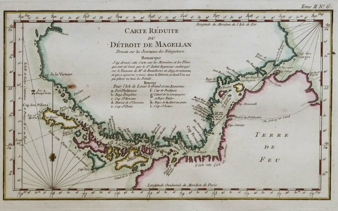
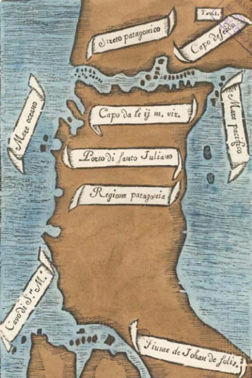
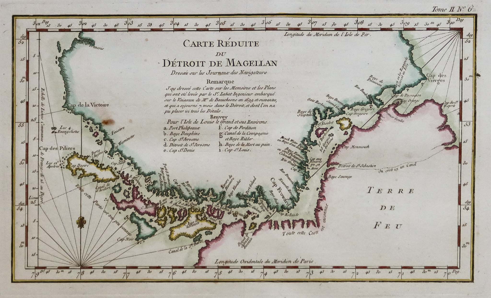
To understand the association’s importance, it is essential to recall Cape Horn’s role in global maritime networks before the era of steam and the Panama Canal. From the late 15th century onward, and more intensively from the 19th century, powers seeking new maritime routes for spices, and later guano, nitrates and other raw materials, pushed their fleets south of the Americas.
Throughout the 19th and early 20th centuries, French Cape‑Horn windjammers regularly sailed between Europe and the Pacific, rounding Cape Horn twice a voyage in many cases. These routes were crucial for the nitrate and cereal trades, but they also demanded exceptional seamanship in the “Furious Fifties” and “Roaring Forties,” which explains the enduring prestige attached to Cape‑Horn sailors.
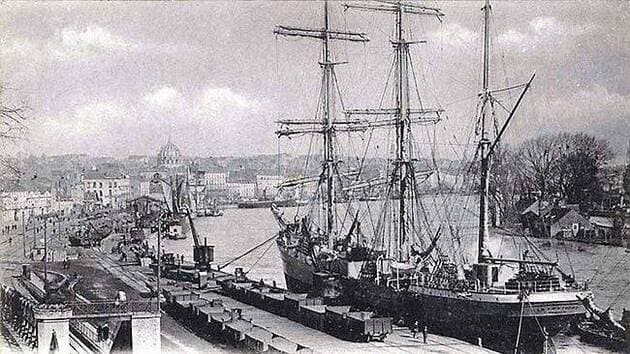
Nantes, a major ship‑owning port and Horn‑route hub
Within this story, Nantes occupies a special place as a major ship‑owning port and shipbuilding center on the Loire estuary. In the 19th century, shipyards around Nantes—including the Chantiers de la Loire and Dubigeon—built large steel sailing ships intended for long‑distance trade, including routes toward the Pacific and the Horn.
Nantes’ port landscape developed around the quays of the Loire, the activities of ship‑owners, river barge traffic, and large merchant vessels operating in an increasingly global economy. The presence of a Rue des Cap‑Horniers in Nantes symbolically underscores the city’s historic link with the sailors who departed on these extreme voyages.
The research carried out by Cap‑Horniers Français helps reconnect these port‑city realities with individual lives: many of the Cape‑Horn sailors, officers and captains featured on the site were from Nantes, Loire‑Atlantique, or other Atlantic ports, their careers scattered across registers, logbooks, and family testimonies that the association brings to light.
Saint‑Nazaire, an oceangoing gateway to the Horn
With the rise of the Port of Saint‑Nazaire in the middle of the 19th century under the Second Empire, the Loire estuary gained a modern oceangoing outport that gradually expanded and complemented the facilities further upstream. Created in 1856, Saint‑Nazaire became a key element of the greater Nantes–Saint‑Nazaire maritime port, featuring docks, dry docks, and later major shipyards.
Although Saint‑Nazaire is now best known for large‑scale shipbuilding, including cruise liners, its origins lie in a broader maritime and long‑distance economy, including the transit and outfitting of sailing ships bound for the Atlantic and the Pacific. At the height of the sail‑ship era, the Nantes–Saint‑Nazaire port complex formed one of France’s main gateways toward the South Atlantic, the Pacific, and therefore the Cape Horn route.
The work of Cap‑Horniers Français—by documenting ship by ship the campaigns to the Pacific—helps highlight this dimension: one can follow vessels built or owned in the region, crews recruited from coastal villages along the Loire, and the long journeys that ultimately led them to round Cape Horn.
A resource for researchers, institutions and families
The site is freely accessible and serves as a premier‑quality resource for historians, students, maritime museums, but also for genealogists and families seeking to trace an ancestor’s seafaring career. The fine‑grained level of information—ship names, campaign dates, itineraries, onboard narratives, testimonies—allows for both detailed and cross‑cutting kinds of research.
By making this corpus available, Cap‑Horniers Français also contributes to the valorization of maritime heritage for local authorities, ports, and memory‑related sites, which can draw on the data for exhibitions, urban routes, commemorations, or educational projects. In doing so, the association positions itself as a bridge between archives, territories and the wider public.
A call for contributions and the future of the Cape‑Horn legacy
With full awareness of the immensity of the task, the association emphasizes that this work is evolving and incomplete, inviting anyone who possesses documents, photos, notebooks, crew lists, or family stories to contact them and help enrich and correct the published information. This openness underlines the collective nature of the project: the history of Cape Horners is no longer reserved for specialists alone, but becomes a shared memory to which everyone can contribute.
At a time when commercial sailing has vanished before the rise of mechanical propulsion, this independent research stands as a bulwark against the forgetting of a maritime world now gone, yet one that has shaped French port cities, estates and coastal cultures from Nantes and Saint‑Nazaire to the distant shores of the Pacific. By rigorously documenting Cape‑Horn sailing ships and their crews, Cap‑Horniers Français provides an irreplaceable tool for understanding this history and transmitting it to future generations.