Darwin Cordillera: Terra incognita of the southern Andes

Karukinka
13 August 2025

Association Karukinka
Law 1901 - of General Interest
Latest news

Follow us
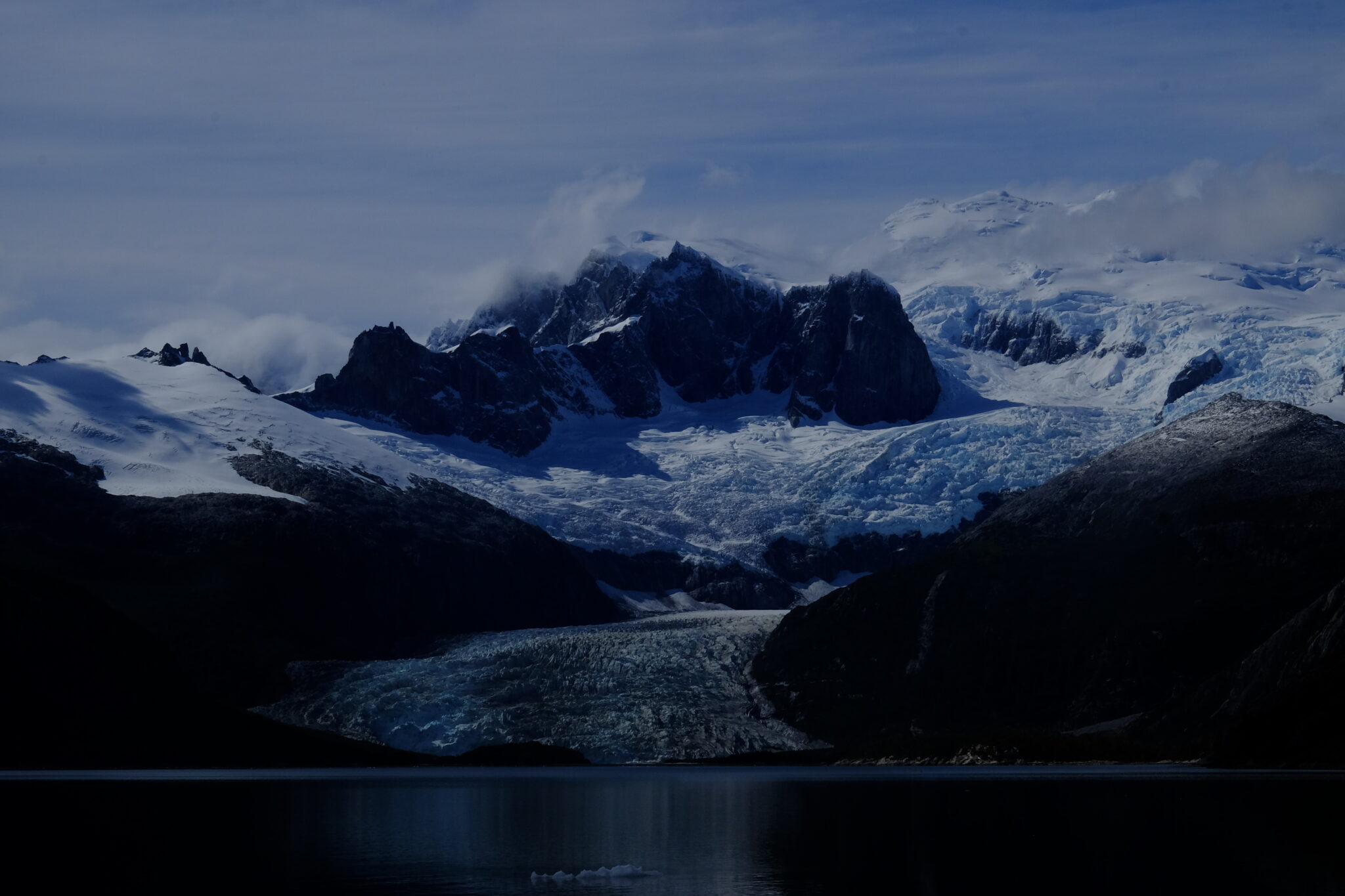
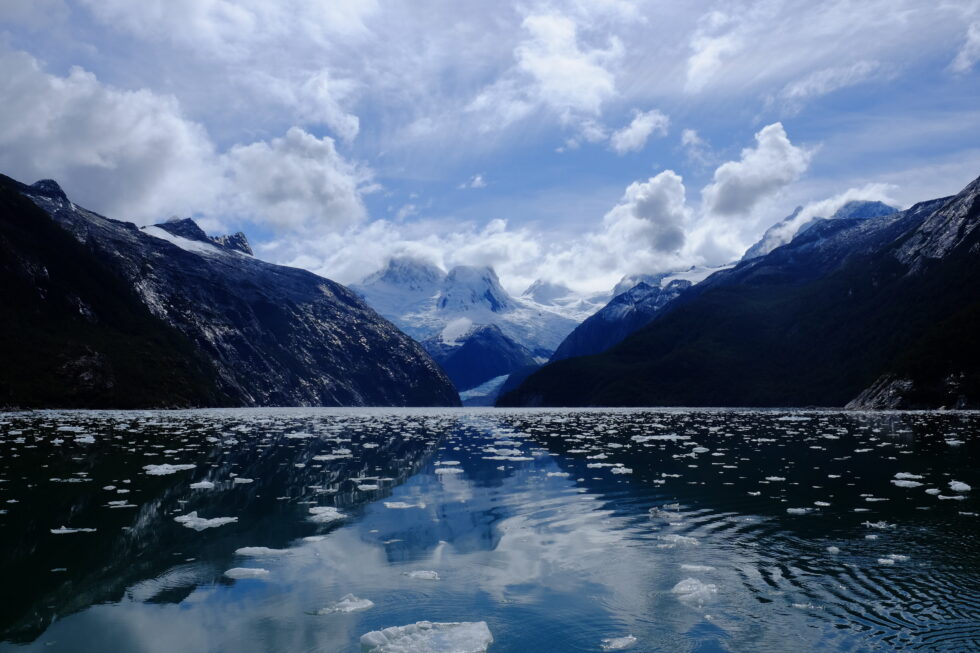
The Darwin Cordillera represents one of the last wild frontiers of our planet, a mountain range of striking beauty yet formidable hostility, located at the far southwestern tip of Chilean Tierra del Fuego.
On 12 February 1834, Captain Robert FitzRoy names a mountain range at the southwestern tip of Chilean Tierra del Fuego in honour of Charles Darwin's 25th birthday. Darwin himself never sets foot there. He observes it from the deck of HMS Beagle, through the Beagle Channel, and senses — correctly — that it will resist exploration for a very long time.
Until 2011, when six French military alpinists completed its first integral crossing, the Darwin Cordillera remained one of the last "white rectangles" on world maps.
1. Geography and geology
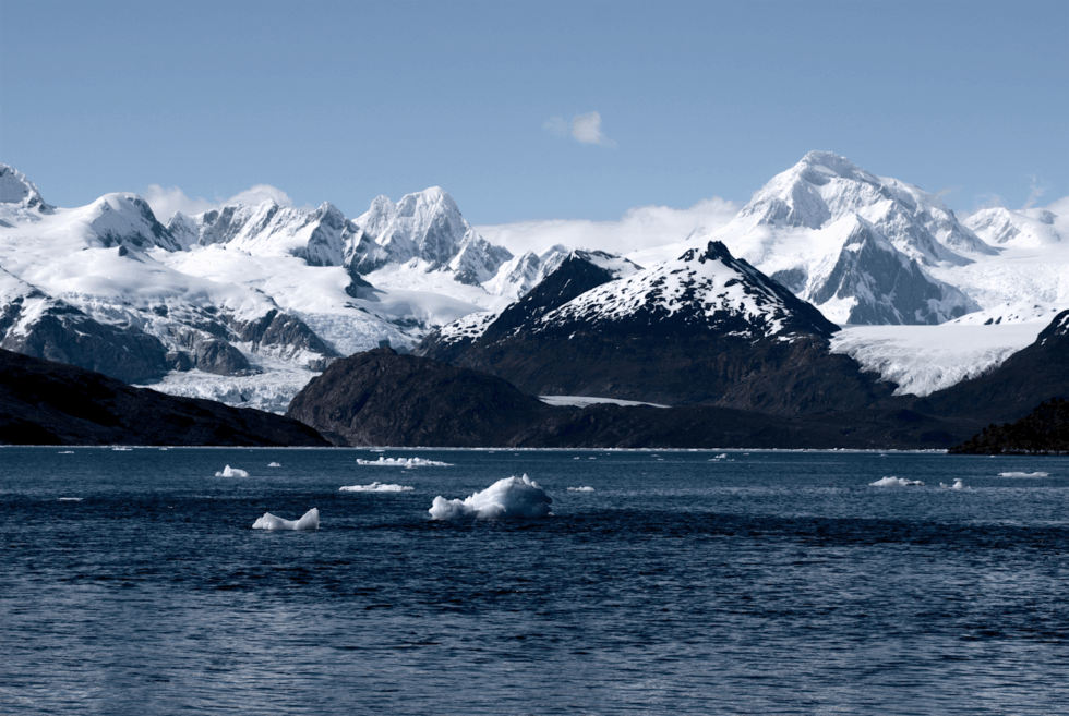
The cordillera extends 170 km west to east and 60 km north to south, between 54°15' and 54°50' south latitude. It is surrounded by water on three sides: the Almirantazgo Canal to the north, the Beagle Channel to the south, the Cockburn Canal to the west. Only its eastern edge, near the Argentine–Chilean border, remains connected to land.
Its highest point is Mount Shipton (2,469 m) — not Mount Darwin (2,438 m), a confusion that persisted for decades following Eric Shipton's 1961 expedition. The ice field covers 2,300 km², equivalent to the combined area of all Alpine glaciers, making it Chile's third-largest freshwater reserve after the Northern and Southern Patagonian Ice Fields.
The massif is built around a high-grade metamorphic complex — kyanite and sillimanite schists formed during the closure of the Rocas Verdes basin in the Cretaceous. These minerals signal extreme pressures and temperatures in the crust, making this the only ensemble of its kind in the southern Andes. The opening of the Drake Passage 45 million years ago subsequently shifted the local tectonic regime to transpressive.
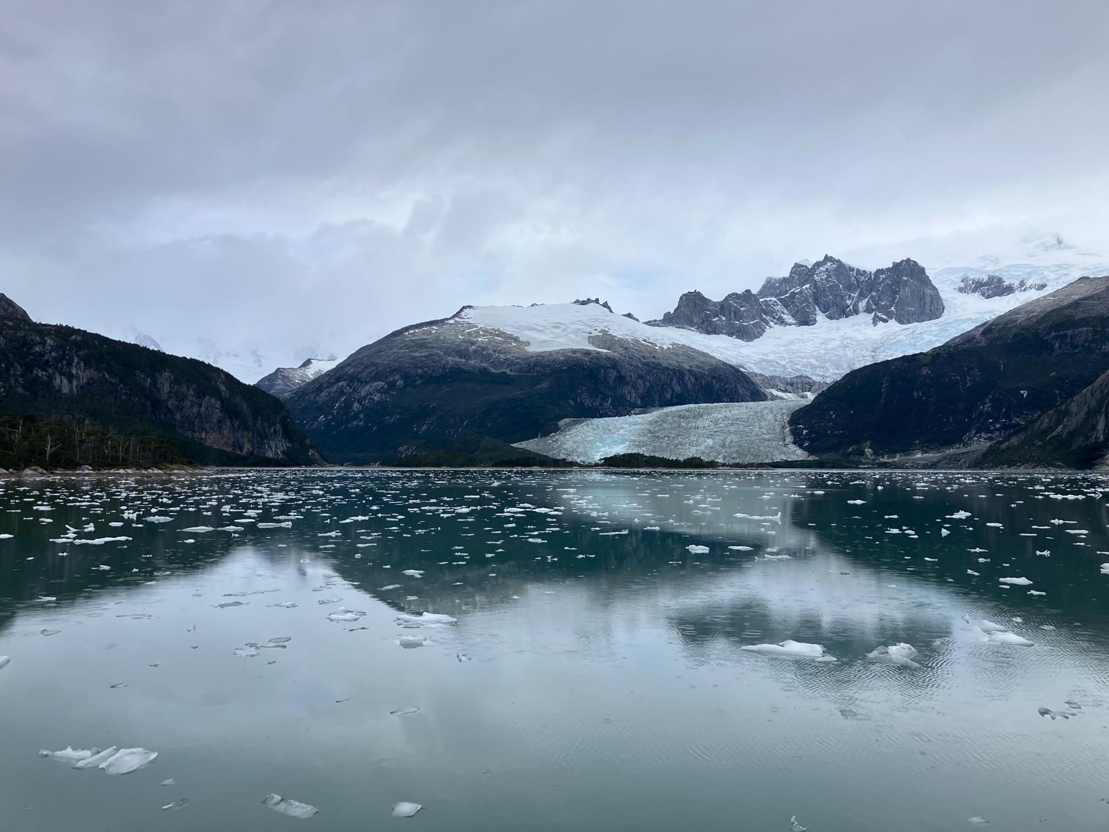
Among the dozens of glaciers in the massif, the Marinelli Glacier is the most studied and most active. It stretches from the cordillera to Ainsworth Bay in the Almirantazgo Fjord. Between 1913 and 2011, its front retreated 15 km — one of the highest retreat rates documented globally for a glacier of this type.
The Darwin Cordillera constitutes a natural laboratory for studying ocean–atmosphere–cryosphere interactions at southern high latitudes. Field data feed directly into global climate models.
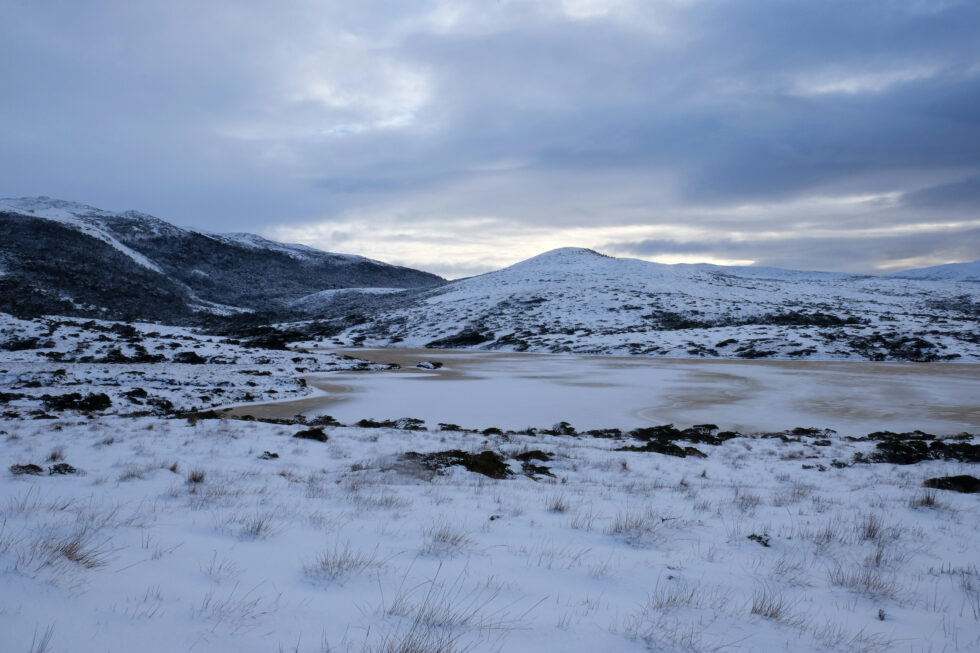
Extreme climate: the Roaring Fifties
Westerly winds are constant. In the Roaring Fifties, their average annual speed reaches 70 km/h. Williwaws — katabatic gusts tumbling down slopes without warning, a Kawésqar word — can exceed 250 km/h. Annual precipitation exceeds 3,000 mm, mostly as snow at altitude. Visibility collapses in minutes.
FitzRoy called these conditions a "wicked divinity." One hundred and fifty years of failed exploration attempts proved him right.
Average temperature varies between 0 and 5°C during the cold season (southern winter) and between 5 and 10°C during the warm season (southern summer). These relatively slight thermal variations reflect the moderating influence of the ocean, but mask the constant cooling effect of wind that considerably lowers the perceived temperature.
4. Biodiversity
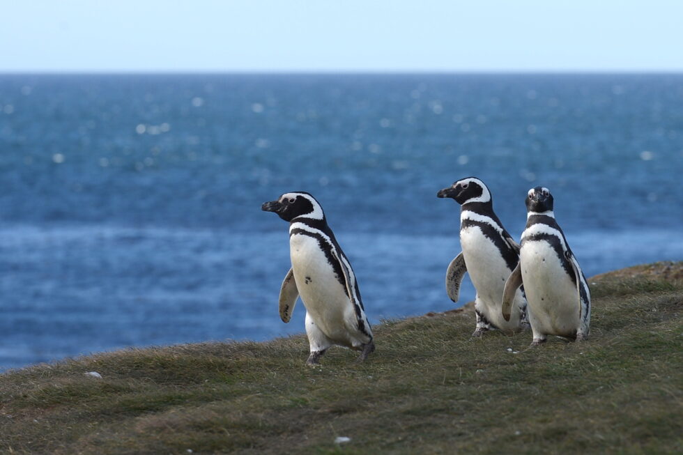
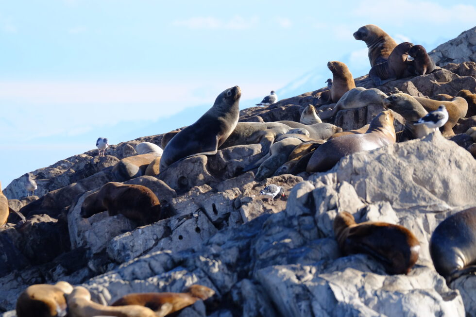
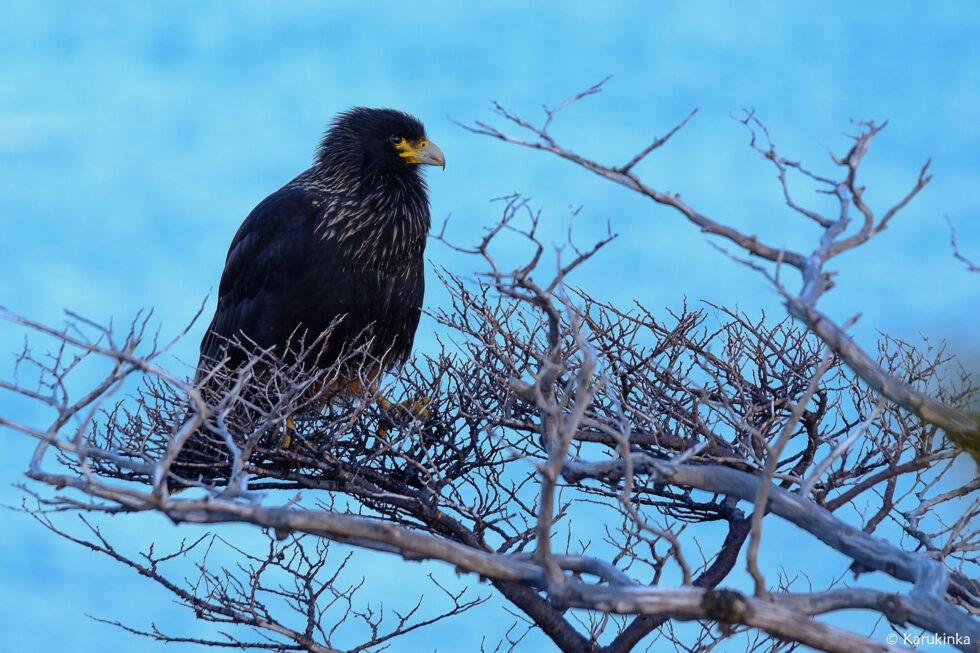
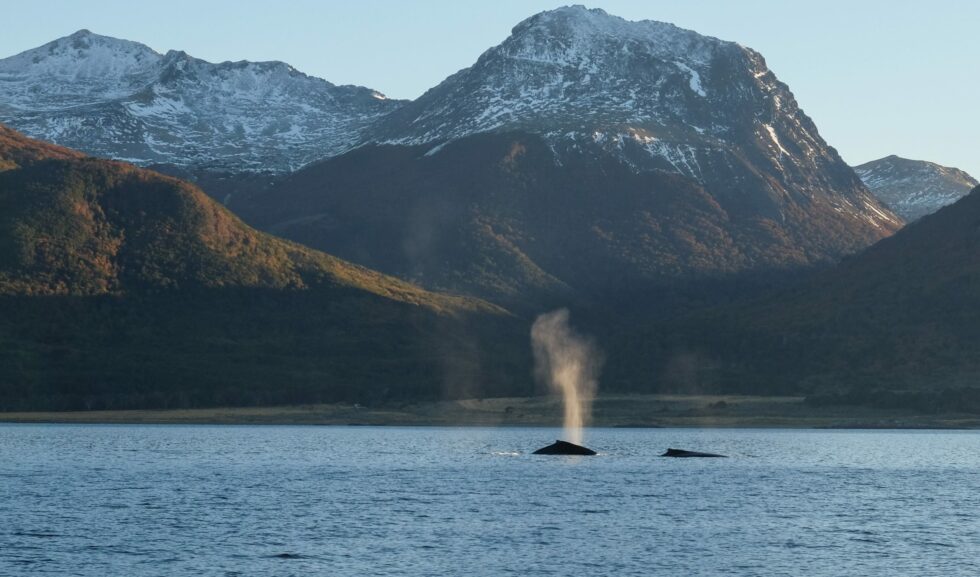
Fauna. Nutrient-rich fjord waters support humpback and southern right whales. Sea lions, elephant seals and leopard seals frequent the rocky coasts. Over 90 bird species have been recorded, including the Andean condor (wingspan up to 3 m) and, remarkably, the only colony of king penguins (Aptenodytes patagonicus) located outside Antarctica and the subantarctic islands.
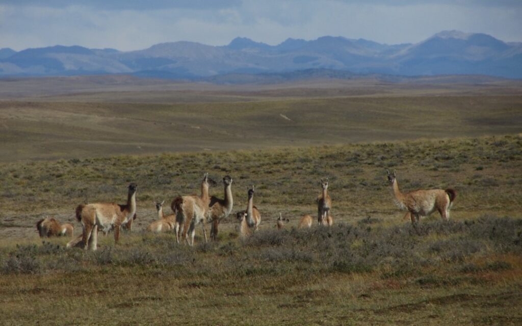
On land, the guanaco (Lama guanicoe) roams the least exposed zones. Canadian beavers, introduced in the 1940s, have colonised tens of thousands of hectares, their dams altering watercourse hydrology and threatening Nothofagus forest integrity.
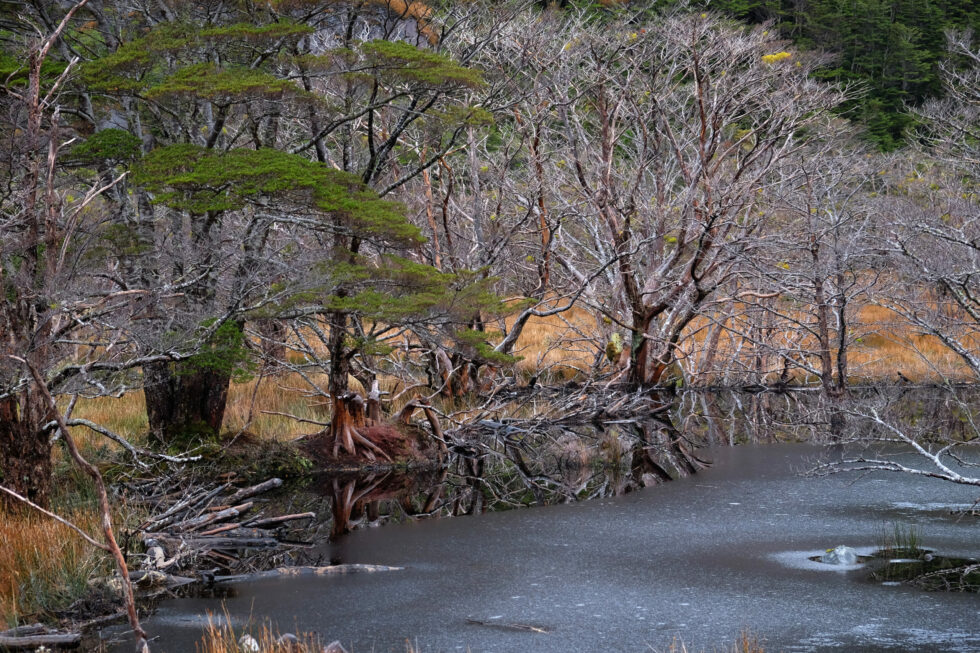
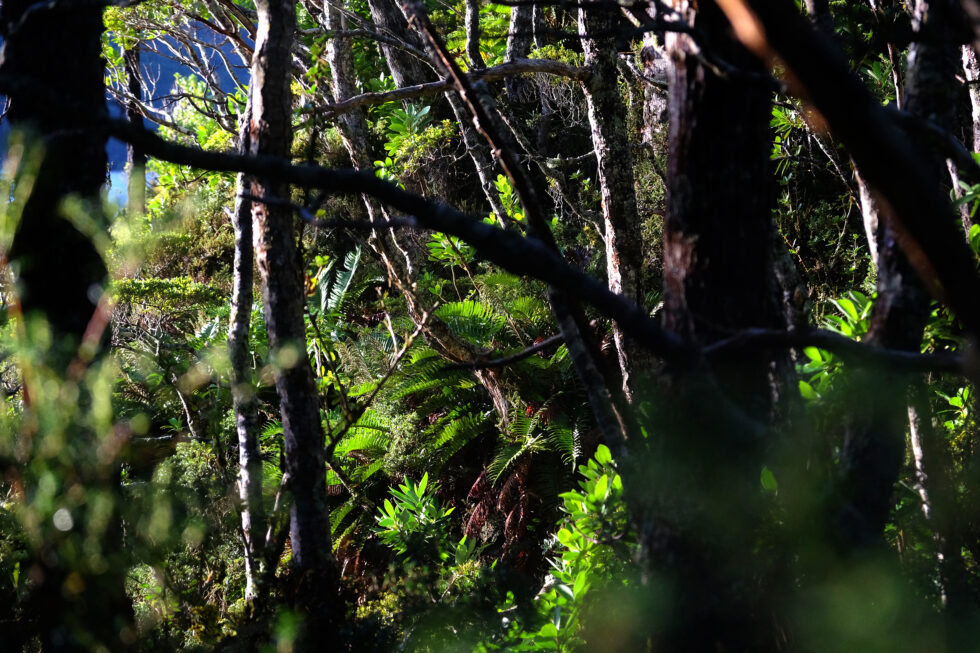
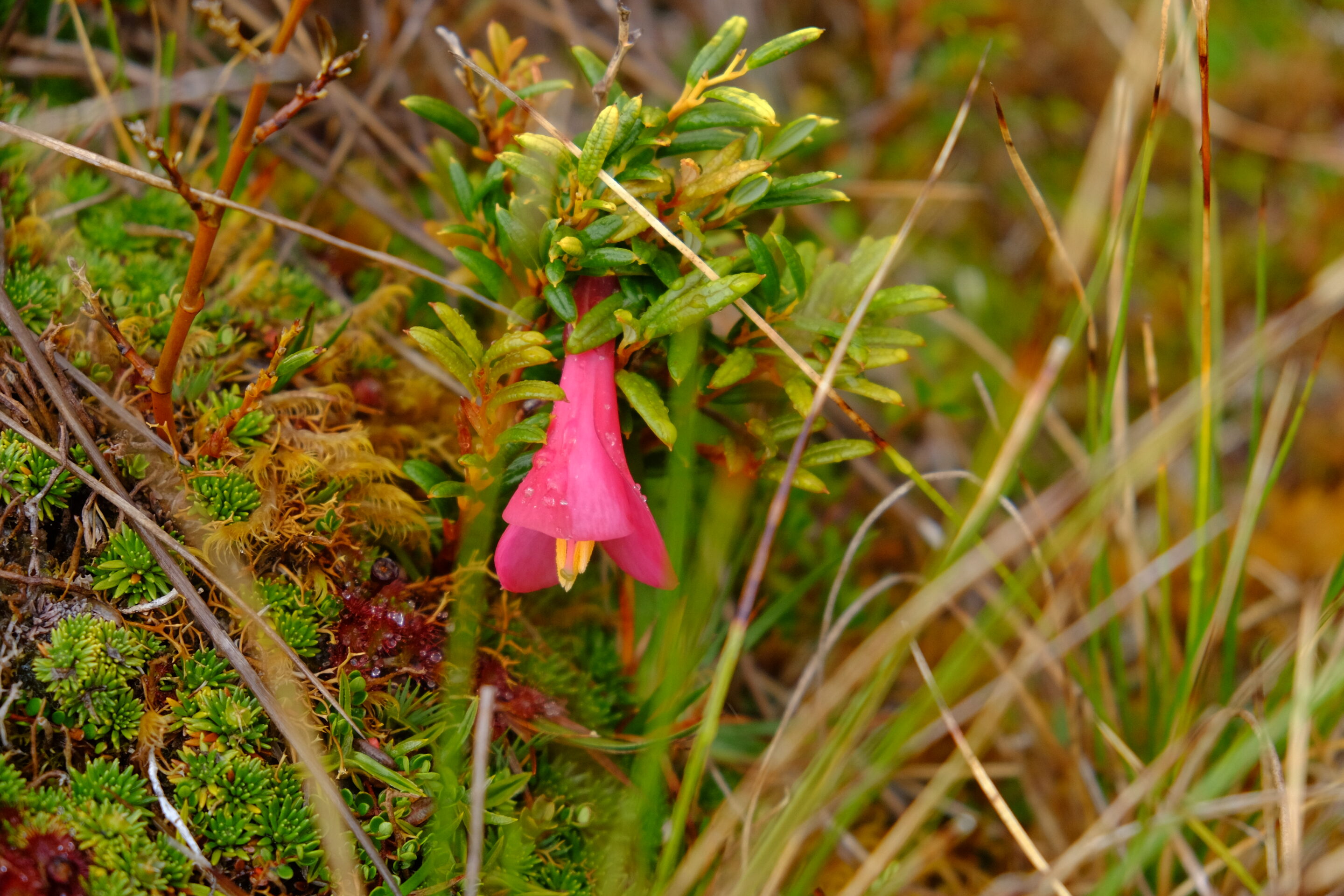
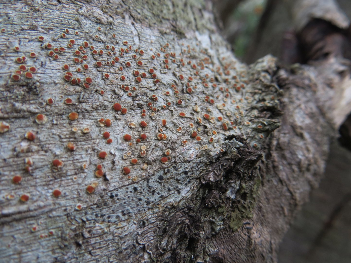
Vegetation. Lenga (N. pumilio) dominates up to 700 m altitude. Above that threshold, the same species grows as wind-sculpted dwarfs — same genetics, drastically reduced form. Higher still, Magellanic tundra takes over: mosses, lichens, Azorella, Bolax. Beneath the forest canopy, Drosera uniflora (a carnivorous plant) and several endemic orchid species signal the severe nutrient poverty of the soils.
A transition zone marks the boundary between the forest tier and the alpine tier, where vegetation consists principally of mosses and lichens capable of resisting desiccating winds and negative temperatures. This Magellanic tundra constitutes a unique ecosystem, harboring highly specialized plant species.
5. First explorers
Father Alberto de Agostini, an Italian Salesian missionary, was the first to seriously penetrate the massif, between 1910 and 1960. His photographs — the first images of the cordillera's interior — and some twenty books on Patagonia constitute a foundational scientific and ethnographic heritage. The national park that protects the massif bears his name.
In 1961, British alpinist Eric Shipton, with Chileans Eduardo García, Francisco Vivanco and Cedomir Marangunic, believed he had made the first ascent of Mount Darwin. The team had in fact climbed a higher summit to the north-west — the future Mount Shipton (2,469 m). The confusion was resolved in 1970 by a New Zealand expedition, whose proposed names were accepted by Chilean geographic authorities.
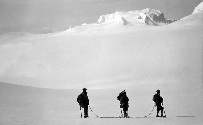
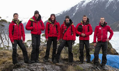
6. The GMHM first crossing (2011)
On 6 October 2011, six alpinists from the French Military High Mountain Group (GMHM) in Chamonix completed the first integral crossing of the Darwin Cordillera.

The team — Captain Lionel Albrieux (expedition leader), Lieutenant Didier Jourdain, Master Sergeant Sébastien Bohin, Staff Sergeant François Savary, Corporal Sébastien Ratel and civilian climber Dimitri Munoz — set off from the western slope on 6 September, fully self-sufficient, hauling 75 kg of equipment each on pulkas tested in Norway.
In 30 days they covered 150 km as the crow flies (250 actual km), with no reliable map since 1954. On the ridge facing Mount Darwin, a 5 km arête narrowed at times to 40 cm. Winds regularly reached 150 km/h. The team progressed at times on all fours, occasionally lying flat.
The documentary film On Darwin's Edge, made from footage shot by the team, was released on 30 October 2013.
7. Protection and challenges
Alberto de Agostini National Park, created on 22 January 1965 (Supreme Decree No. 80), covers 1,460,000 hectares — Chile's third-largest protected area. In 2005, it was incorporated into the UNESCO Cape Horn Biosphere Reserve, placing the cordillera among the planet's 24 most pristine ecoregions.
Three challenges dominate the conservation agenda: documented glacier retreat (Marinelli: –15 km over one century), the spread of Canadian beavers, and growing cruise ecotourism pressure toward the glaciers — which requires careful management, particularly around fragile, unenclosed Yagan archaeological sites on the coastline.
Candelariella magellanica and Sclerococcum nothofagi: two new species discovered on Navarino Island
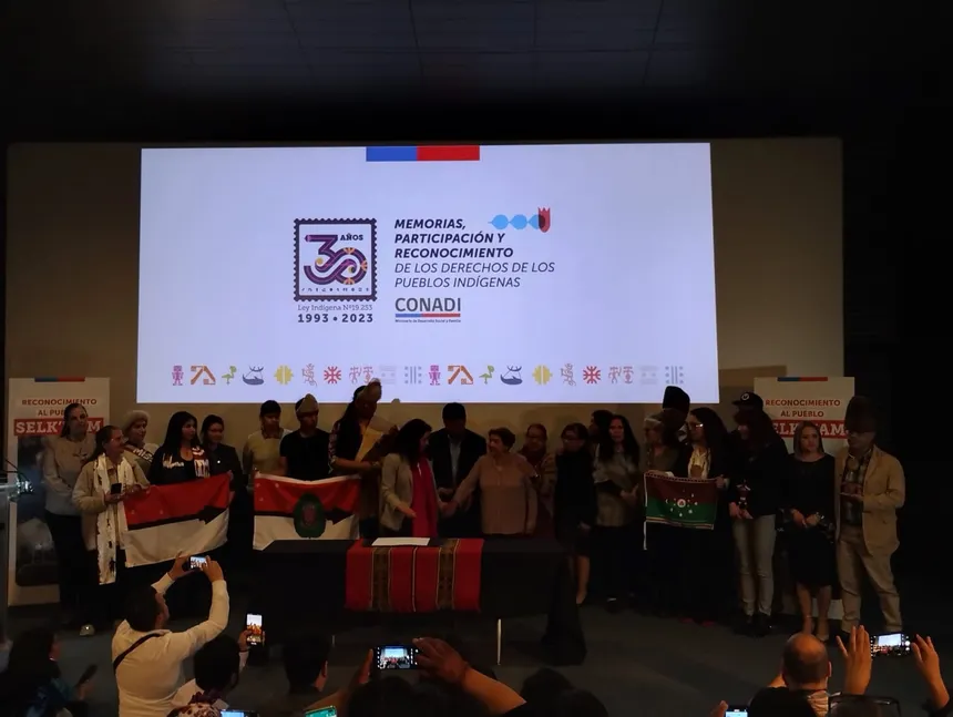
Chile recognises the Selk’nam as a living indigenous people
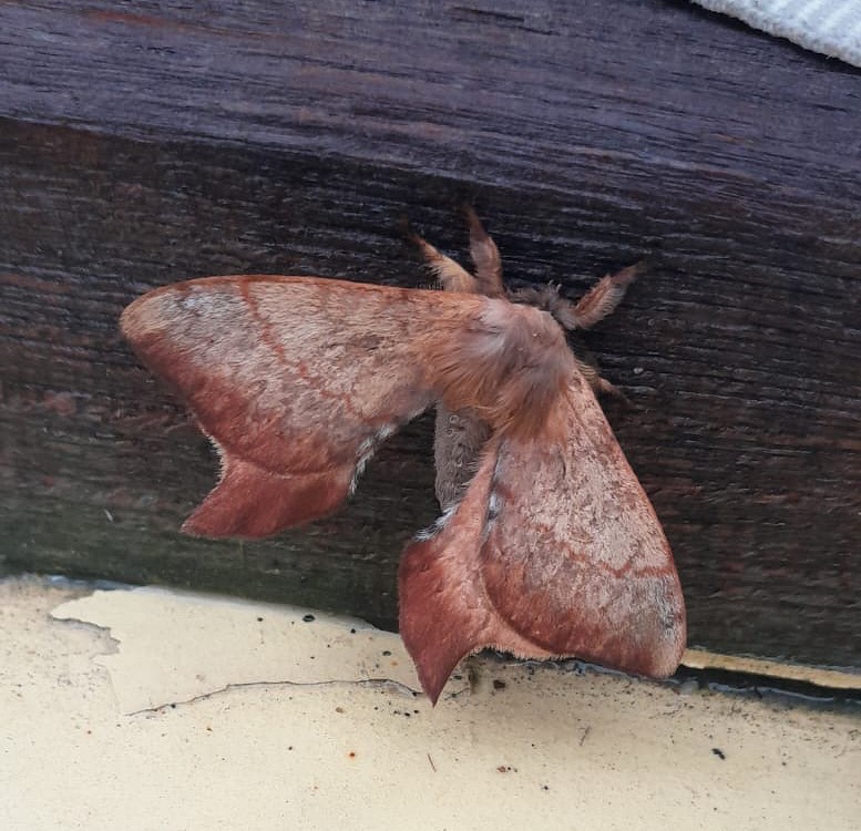
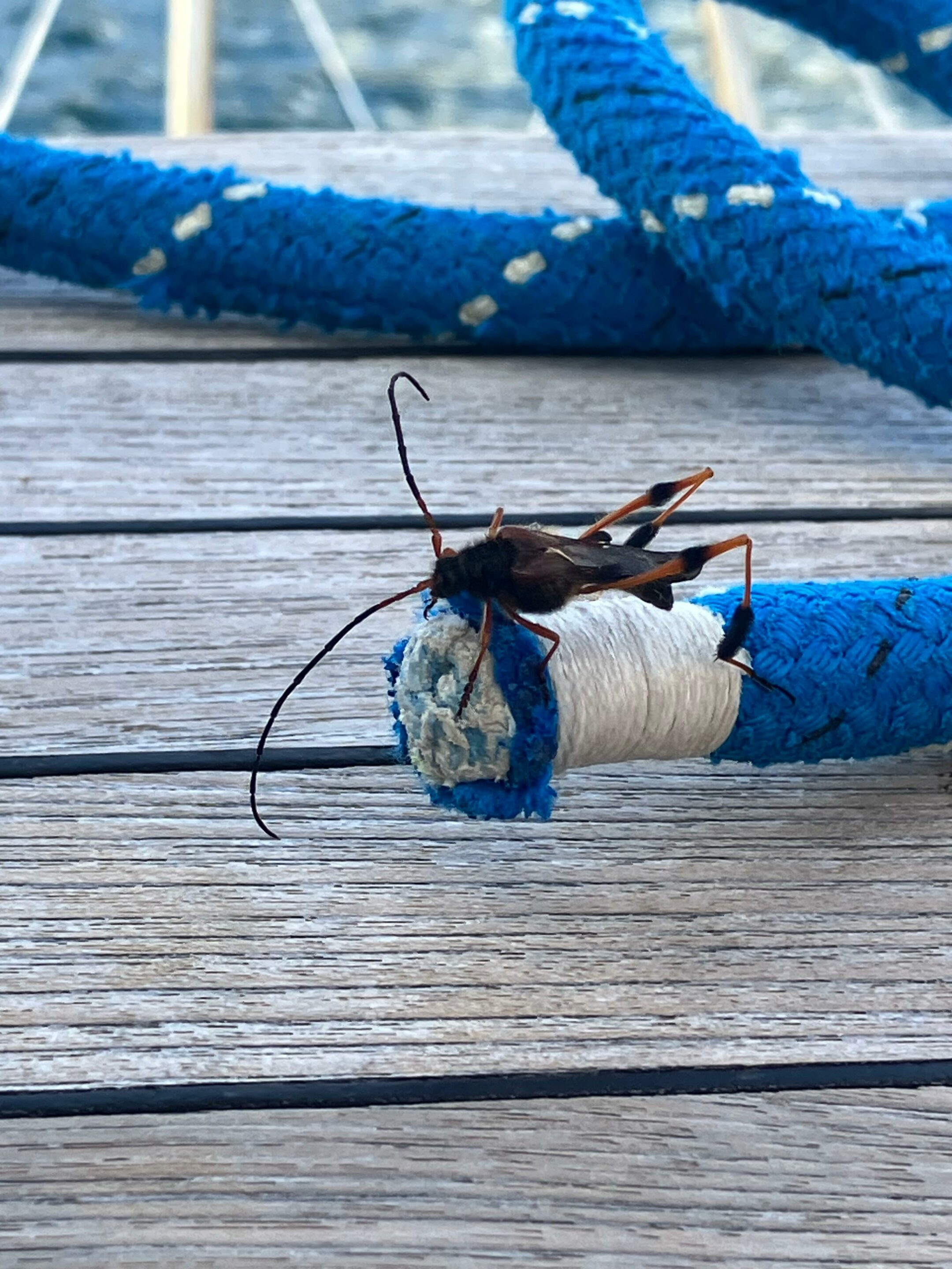
Cercophana frauenfeldii Felder, 1862 (Lepidoptera: Saturniidae): Taxonomy, Ecology and Presence in the Far South of Chile
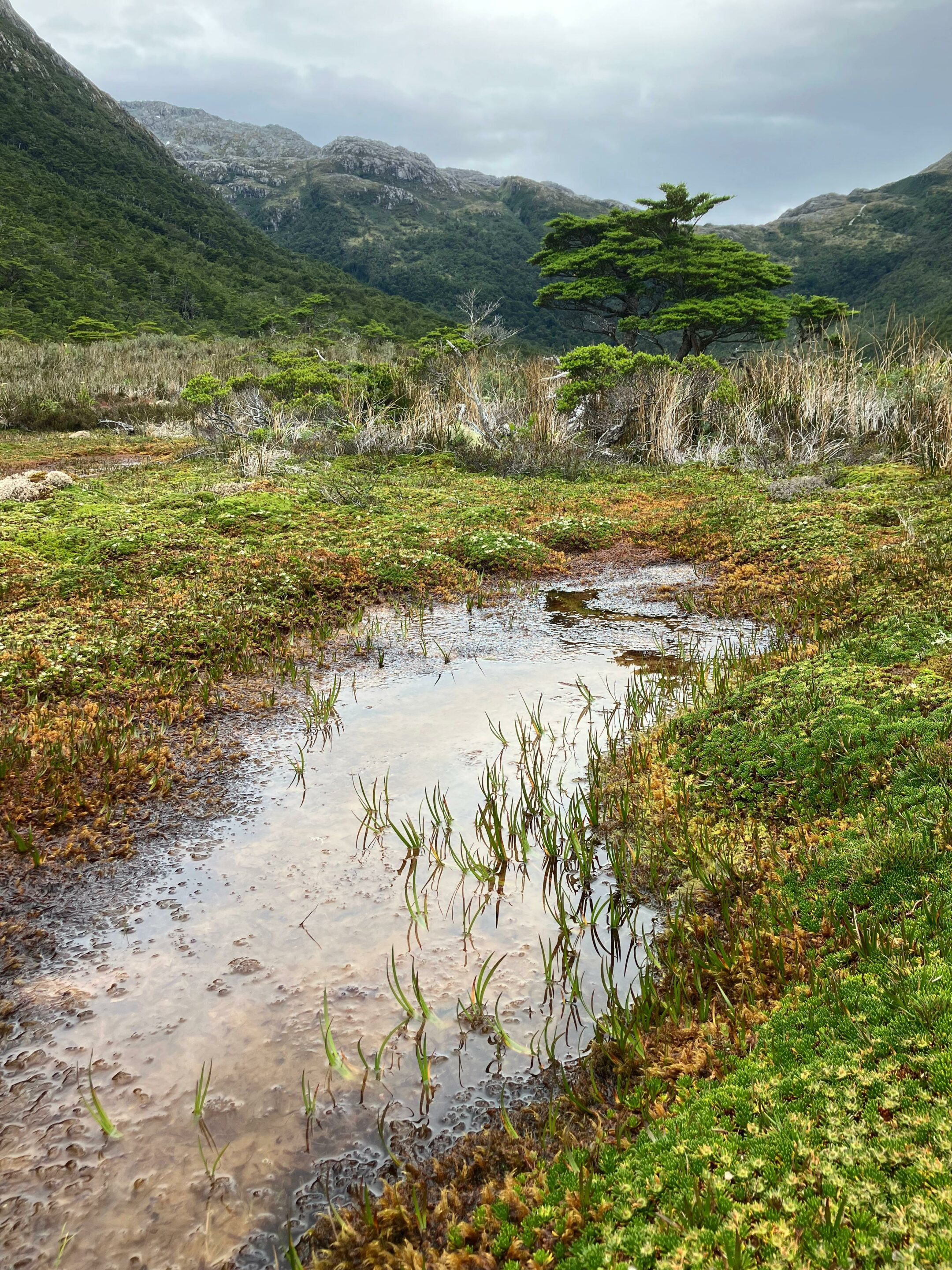
Peatlands of Tierra del Fuego: peat mosses and liverworts, the silent architects of the austral bogs
Callisphyris leptopus Philippi, a visitor during the southern storms